3 min read
Curiosity Blog, Sols 5010-5015: Checking out the Bands

Catherine O’Connell-Cooper, APXS Strategic Planner and Payload Uplink/Downlink Lead, University New Brunswick, NB, Canada
Earth planning date: Friday, Sept. 11, 2026
This week we had two planning days (Tuesday and Friday), as Monday was Labor Day in North America, where many of the Curiosity team are based. Labor Day (the first Monday in September) marks the end of summer holidays and thrills, and the return to more typical routines and back to school.
The MSL team has marked several important milestones within the past few weeks — marking our 14th “Landiversary” on Aug. 6 and surpassing the 1-kilometer elevation mark and our 5000th sol (Martian day) in early September. Our next big date is not until Nov. 26, the 15th anniversary of launch, and so it feels like Curiosity is also back to a more routine schedule at this point.
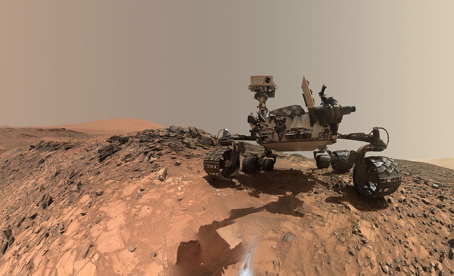
We are moving up the valley known informally as “Valle Grande.” In recent weeks, we climbed up over what we interpreted as an “erosional supersurface” (which marks a gap in the usual rock record) and are now traversing through a subtly banded area. Bands are 25-200 meters (about 80-650 feet) in diameter, with morphological changes, such as bands with more sand and less rocky outcrops (which often appear darker from a distance because there is more sand) and others where outcrops seem more continuous that allow us to mark out rough contacts between them.
The terrain this week was characterized by sparse outcrops with a rough texture, often nodular, surrounded by lots of sand and coarse pebbly sand. On Tuesday APXS and MAHLI investigated brushed nodular bedrock at “Cerro Armazones” and “Monte Melimoyu.” ChemCam acquired LIBS on a knot of dark-toned nodules at “Tuta Huallpas” and the dark-toned float rock “Acllahuasi.”
On Friday, after a drive of about 60 meters (nearly 200 feet), we found ourselves with mostly sand close to the rover and just one small rough-textured outcrop close enough for contact science and LIBS. Fortunately, the block was extremely interesting, with abundant small flakes and chips incorporated and laminated areas that are a bit smoother. We will investigate the rougher textures with MAHLI (“Yungay” and “Chiu Chiu”), APXS (Chiu Chiu) and ChemCam LIBS (“Puya Raimondii”) and a smoother area with LIBS (“Liolaemus Tacnae”).
Across both plans, the ChemCam long-distance imager and camera teams were hard at work. In addition to near-field images, which focus on areas close to the rover, both Mastcam and ChemCam acquired several larger mosaics on the buttes on either side of us (“Mishe Mokwa” and “Cordillera”) and looking back to the small butte “La Linea.” Mastcam also took some mosaics documenting the “Chocolatal” scuff, which we analyzed last week, and a larger mosaic of the “Sullivan Field” sand field where Chocolatal is located. Sullivan Field contains sand ripples, mega ripples, and transverse aeolian ridges, and was named by the team in honor of the late Robert Sullivan, a world expert on Martian sands and cherished member of the Curiosity science team.
In parallel to all the geology activities, the environmental team planned their usual full schedule of monitoring activities, such as dust-devil movies, suprahorizon movies looking at the crater rim, and tau images, which look at dust in the atmosphere.
Navcam and Mastcam acquired images of the path ahead in our drive direction. The subtle bands can just about be picked out here, by looking at tonal differences. It will be very interesting to see how these look and vary from each other when we get close enough to each one.



Leave a Reply